Geology, to put it bluntly, rocks. Where else can you talk about cleavage, bedding attitudes, discharge, and thrust faults with a straight face?

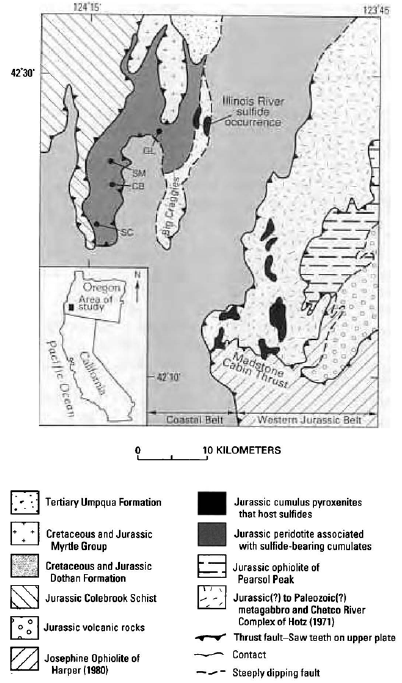
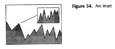
Anyhow, the United States Geological Survey (USGS) has a nice document of Suggestions To Authors of their technical reports and maps. In particular, the chapter on “Preparing maps and other illustrations” seems to be a good reference on maps for those of us without much formal cartography/geography training. For example, there are good tips on index maps (little inset maps showing the context around the bigger map, or pointing out where your study took place). The overall focus is naturally on geological maps, but much of the advice applies to other kinds of maps and visualizations too.

This is the 7th edition from 1991, so perhaps it’s due for an update, but the advice still seems solid. I’d also love to see the 1st edition from 1909 and see how much the guide has changed.
